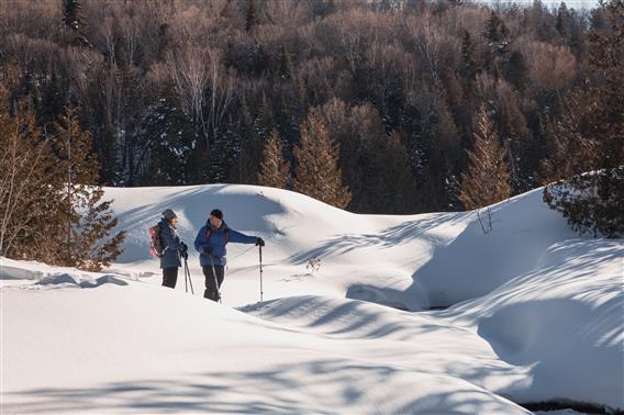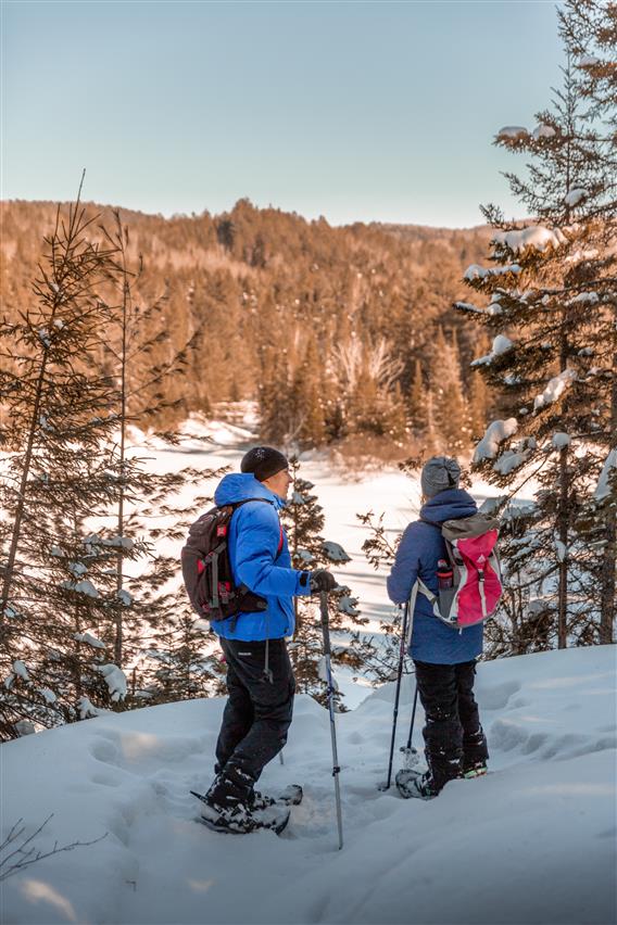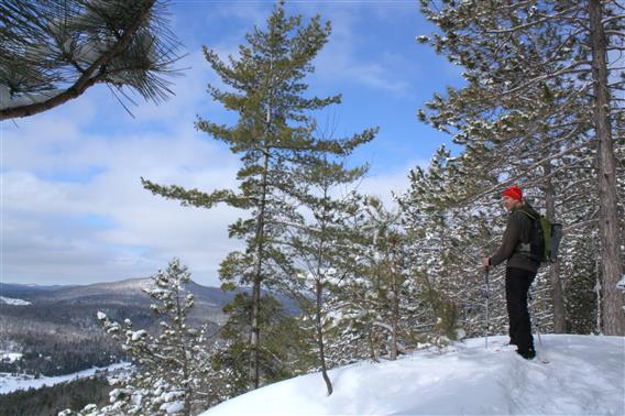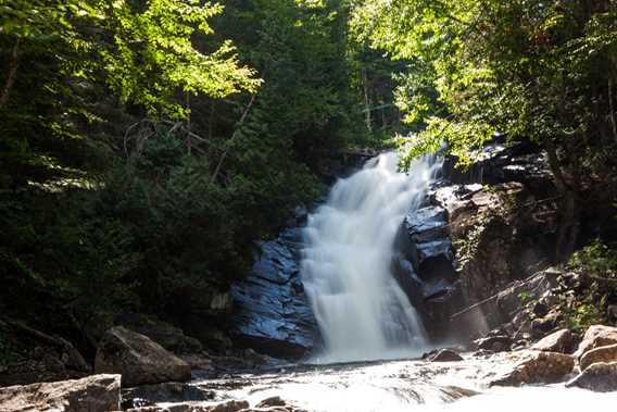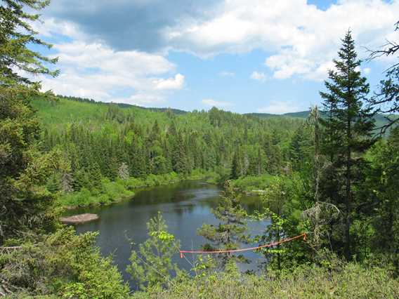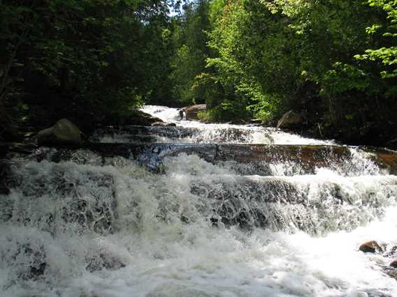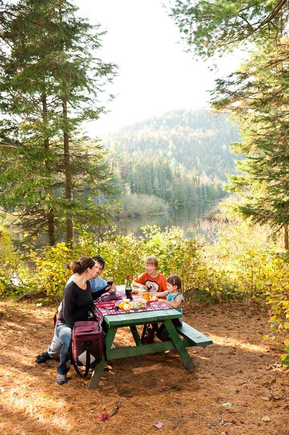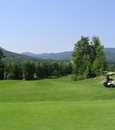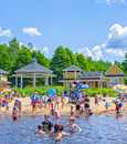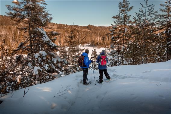
The Lanaudière section of the Sentier National (National Trail) crosses Matawinie area from west to east for more than 170 km. Passing through the finst natural areas of the region, you’ll discover northern Lanaudière in all its splendour.
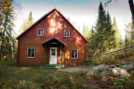
Many activities, attractions and services: hiking, snowshoeing, cross-country skiing, rental of rest-huts, platforms, Waterfall Swaggin.
Unlimited access (except in Zec territories, where registration is mandatory)
To reach the various sections
Inter-Centre (Saint-Donat) : Highway 125, Highway 329 south, Chemin Régimbald (1 km, on left)
Mont-Ouareau : parking lot on Highway125, 9 km north of Notre-Dame-de-la-Merci
Massif (Ouareau Forest):
-Access #1: Highway 125, parking lot of Parc régional de la Forest Ouareau, (1.5 km south of Notre-Dame-de-la-Merci)
-Access #2: Highway 347 (Notre-Dame-de-la-Merci), towards Saint-Côme, 2 km after bridge on Ouareau River (right side)
Contreforts :
- Access #1: parking lot of Auberge Val Saint-Côme
- Access #2: Highway 347 (Notre-Dame-de-la-Merci), towards Saint-Côme, 2 km after bridge on Ouareau River (right side)
Swaggin river : Highway 347 (Saint-Côme), take Chemin de la Ferme, then Rue Charles
Matawinie:
- Access #1: Highway 131 north (Sainte-Émélie-de-l’Énergie), parking lot at Rang 4 intersection
- Access #2: Highway 131 north (Saint-Zénon), 17 km after Access #1, facing Parc régional des Sept-Chutes
Nymphes : Highway 131 north (Saint-Zénon), facing Parc régional des Sept-Chutes.